Industrial History Online
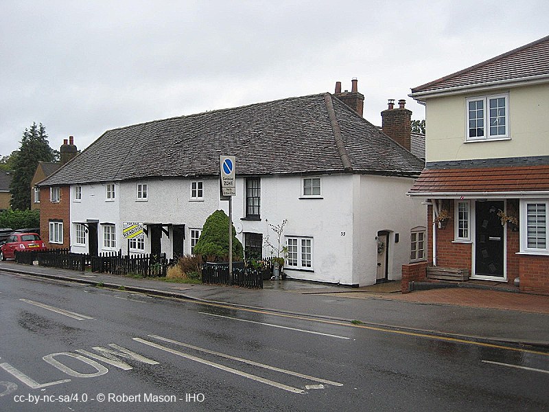
Ingrebourne Cottages
Key Words :- workhouse
Address :- St Mary's Lane, London, Greater London
Grid Ref :- TQ 55444 86740
Co-ordinates :- Lat 51.558127 , Long 0.240938
Local Authority :- Havering London Borough Council
Pre 1974 County :- Essex
Site Status :- Listed - Grade II
Historic England List No :- 1358522,
Description and History of Site:-
Upminster Workhouse built c.1750, converted into cottages 1836.
Further Reading and References:-
https://upminsterhistory.net/2016/10/04/historic-upminster-hill/
https://www.workhouses.org.uk/Romford/
Help us improve this entry
Grid Ref :- TQ 55444 86740
Co-ordinates :- Lat 51.558127 , Long 0.240938
Local Authority :- Havering London Borough Council
Pre 1974 County :- Essex
Site Status :- Listed - Grade II
Historic England List No :- 1358522,
Upminster Workhouse built c.1750, converted into cottages 1836.
https://upminsterhistory.net/2016/10/04/historic-upminster-hill/
https://www.workhouses.org.uk/Romford/
The compilers welcome corrections or additional information on all sites.
Any information provided will be verified before appearing on the web site.
Email comments
Contributor :- GLIAS Database - 2 June 2018
Copyright :- cc-by-nc-sa 4.0 © GLIAS Database
Copyright :- cc-by-nc-sa 4.0 © GLIAS Database