Description and History of Site:-
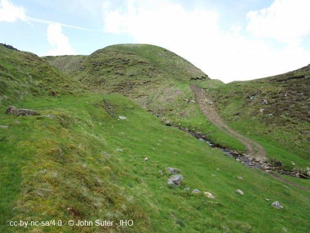
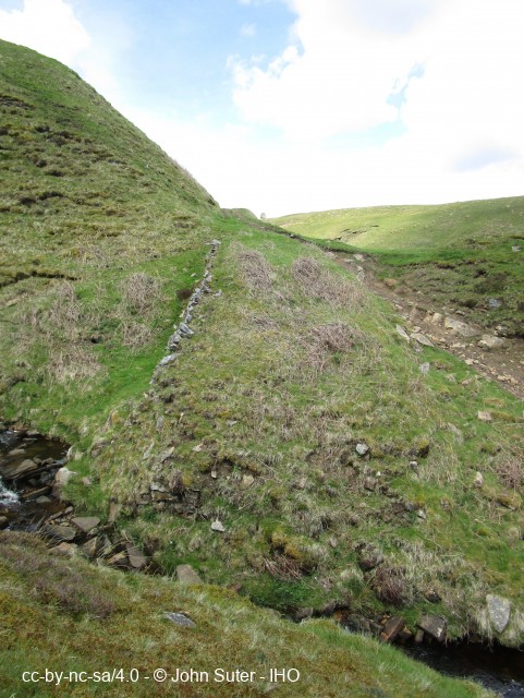
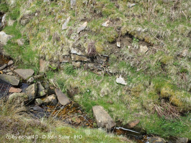
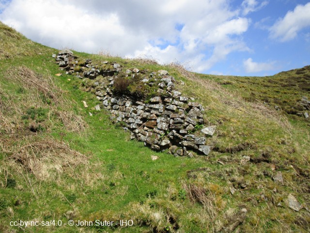
Remains of breached dam on Gill Beck. Remains stand about 20ft (6 m) at the highest point. Construction appears to be local soils with no evidence of a clay core or adequate keying into the underlying rock. Remains of upstream rock revetment and some stone-work probably associated with a low level draw off sluice.
Not referred to in the 'British Mining' memoirs for the Greenhow mines.
Help us improve this entry
The compilers welcome corrections or additional information on all sites.
Any information provided will be verified before appearing on the web site.
Email comments
Key Words :- dam, reservoir water storage lead mining
Viewing the Site :- On open access land. Can be viewed from the footpath
Address :- Greenhow, Pateley Bridge, North Yorkshire, HG3 5JH
Grid Ref :- SE 11290 64818
Co-ordinates :- Lat 54.079163 , Long -1.828934
Local Authority :- Harrogate Borough Council
Pre 1974 County :- Yorkshire - West Riding
Site Status :- Site extant - Protected status unknown
Site Condition :- Earthworks only
Record Date :- 28 May 2021
Copyright :- cc-by-nc-sa 4.0 © John Suter